It all started with a blog post
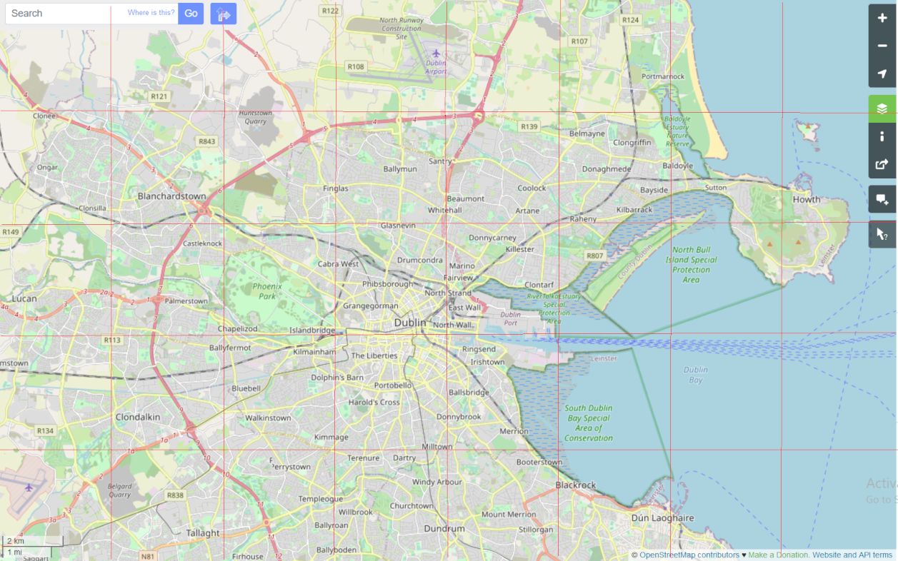
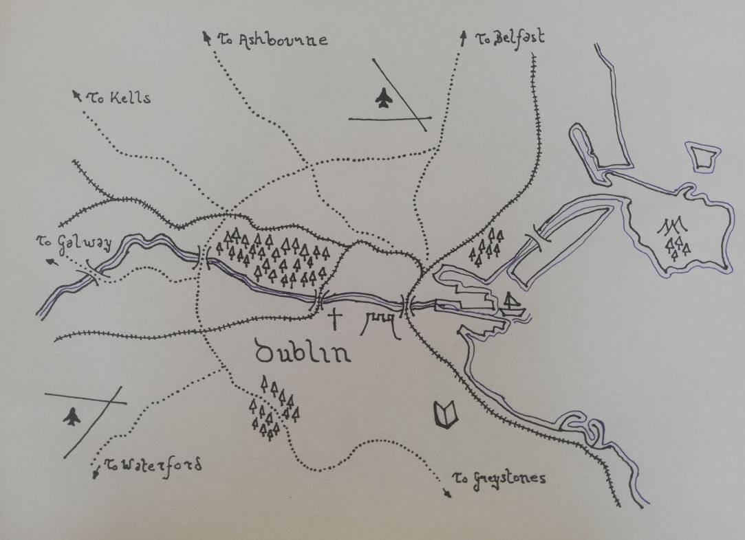
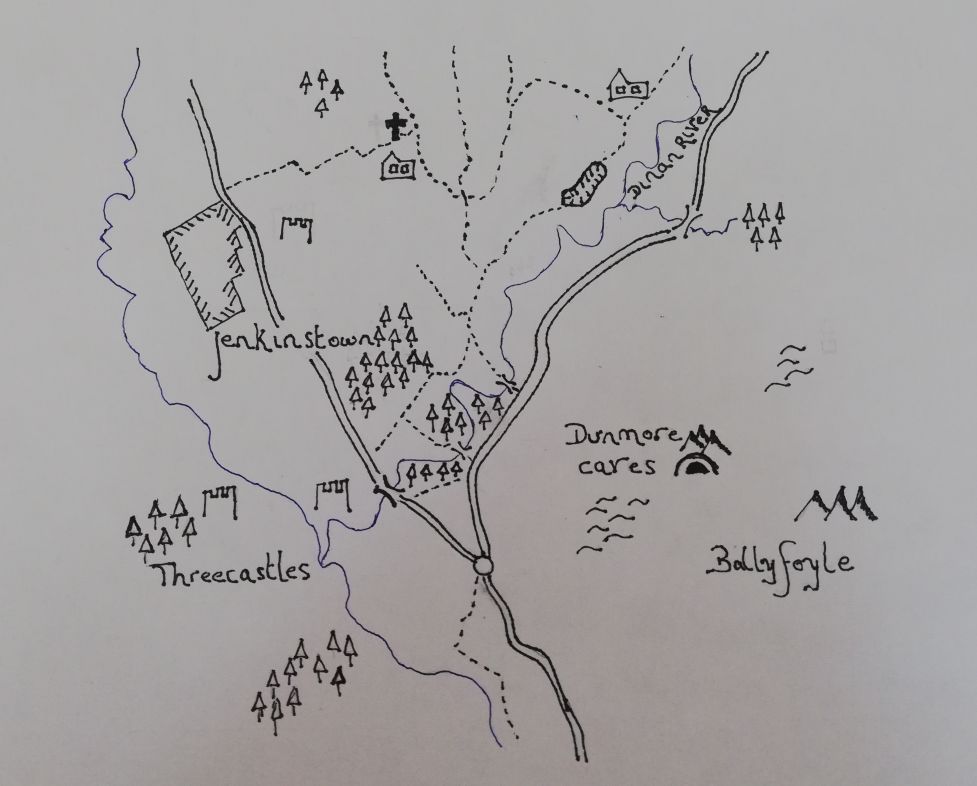
Ordinance Survey UK had a guest blog post describing the process of hand-drawing a map in the Lord of the Rings style. Dan Bell draws and sells hand-drawn maps on his website middleearthmaps.com. His tutorial on Ordinance Survey was very approachable, and easy to replicate. I used openstreetmaps.org to get the base level map for my drawing. I find it quite good for showing a mixture of topographic and navigation features, allowing me to easily choose features to draw.


